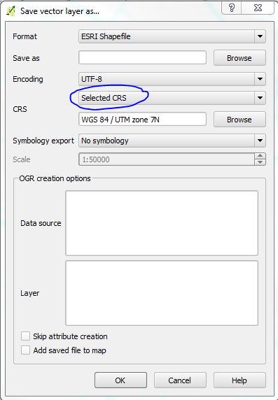
I have been counting muskrat dens on lakes with aerial photos by creating a feature in a separate shapefile. I checked my progress after doing about 80 small lakes and suddenly, half of the lakes were off of their correct location (7.5 km south) and half of them are in the right spot.
I can't seem to remember, but I think that I wanted to confirm that the projection was correct and I confirmed the right projection of the layer.
Is it possible that this confirmation changed the first half of my layers and when I continued with the rest, they were placed correctly?
Is there anyway to reproject some of the features in a shapefile?

