6

How can I create a series of polygons along a line? I need to assess the density of a number of targets along a line within a corridor.
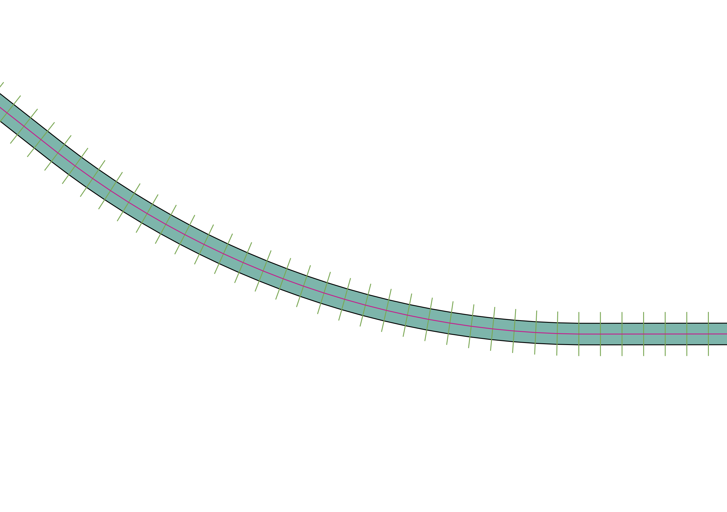
enter image description here

I have tried the following:

  1. creating a buffer,
  2. using the plugin station lines to create perpendicular lines,
  3. Using the Digitizing Tools Plugin to split the buffer with the station lines

This only splits the polygon one line at a time, the lines is 20+km long and I would like 25m sections making manual repetitions impractical.The line also has complex curves.

Is there a way to create such a grid?

1

2 Answers 2

3

I realised that I was looking at the problem the wrong way round. Rather than create polygons along a line to be able to used the points in polygon methods, I realised that I was looking for a Linear Reference solution and therefore the LRS Plugin would produce the information I required.

Thanks for helping anyway.

1

You could Union (Vector -> Geoprocessing -> Union) your Station Lines with your Buffer layer. Input vector layer = Station lines, Union Layer = Buffer

This will create a line output with the edge of the buffer, and the station lines.

Then you can use the Polygonize plugin (see here and here).

1
  • This works perfectly to create the string of polygons along the route, using some manipulation of the geometry I was able to add the centre point of each polygon to the attribute table. After some thought though I realised there is a simpler solution to my problem. See above. Commented Oct 31, 2014 at 11:04

Your Answer

By clicking “Post Your Answer”, you agree to our terms of service and acknowledge you have read our privacy policy.

Not the answer you're looking for? Browse other questions tagged or ask your own question.