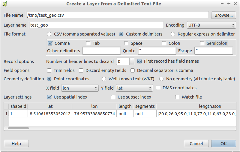
This is my first project regarding QGIS. My problem is I have a CSV file:
shapeId, gpsPoint=lat, gpsPoint=lon, length, segments, lengthJson, segmentsJson, name, gpsAltitude, isBoundary, wkt
1, 8.510618353052012, 76.95793988850774, null, null, "[20.0,26.0,95.0,11.0,77.0,11.0,63.0,23.0,9.0,40.0,20.0]", "[{""x"":650,""y"":166},{""x"":592,""y"":137},{""x"":510,""y"":119},{""x"":328,""y"":363},{""x"":324,""y"":398},{""x"":449,""y"":609},{""x"":484,""y"":608},{""x"":634,""y"":473},{""x"":651,""y"":401},{""x"":639,""y"":374},{""x"":647,""y"":246},{""x"":650,""y"":166}]", palace boundary, -173.23912770954138, true, "POLYGON ((8.510618353052012 76.95793988850774, 8.510262287 76.957779182, 8.510040369 76.957551036, 8.51076993 76.957428227, 8.510874635 76.957425526, 8.511509332 76.95751038, 8.511496826 76.957609161, 8.511093044 76.957710407, 8.510878582 76.957721834, 8.510799786 76.957713931, 8.510417299 76.957719325, 8.510618353052012 76.95793988850774))"
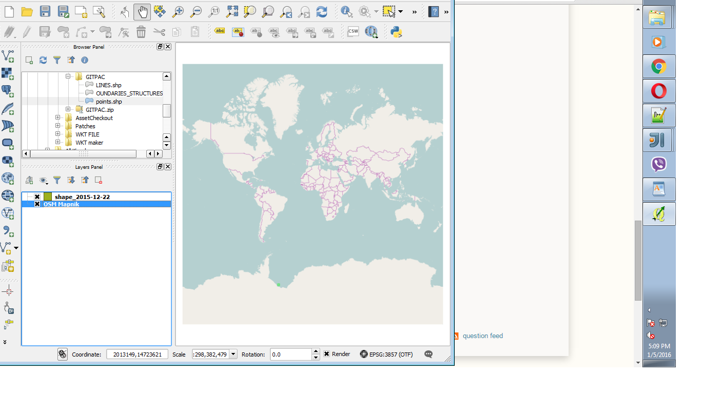
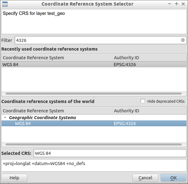
When I load all these points in maps my coordinates are at correct positions. But when I load the CSV file to QGIS and open in Google Maps via OpenLayers Plugin it's totally wrong I don't know how to proceed.
I have gone through this link but still my coordinates appear somewhere else.
Update Please see this image

At the end of the csv file there is a field called wkt which I need to show on maps.


