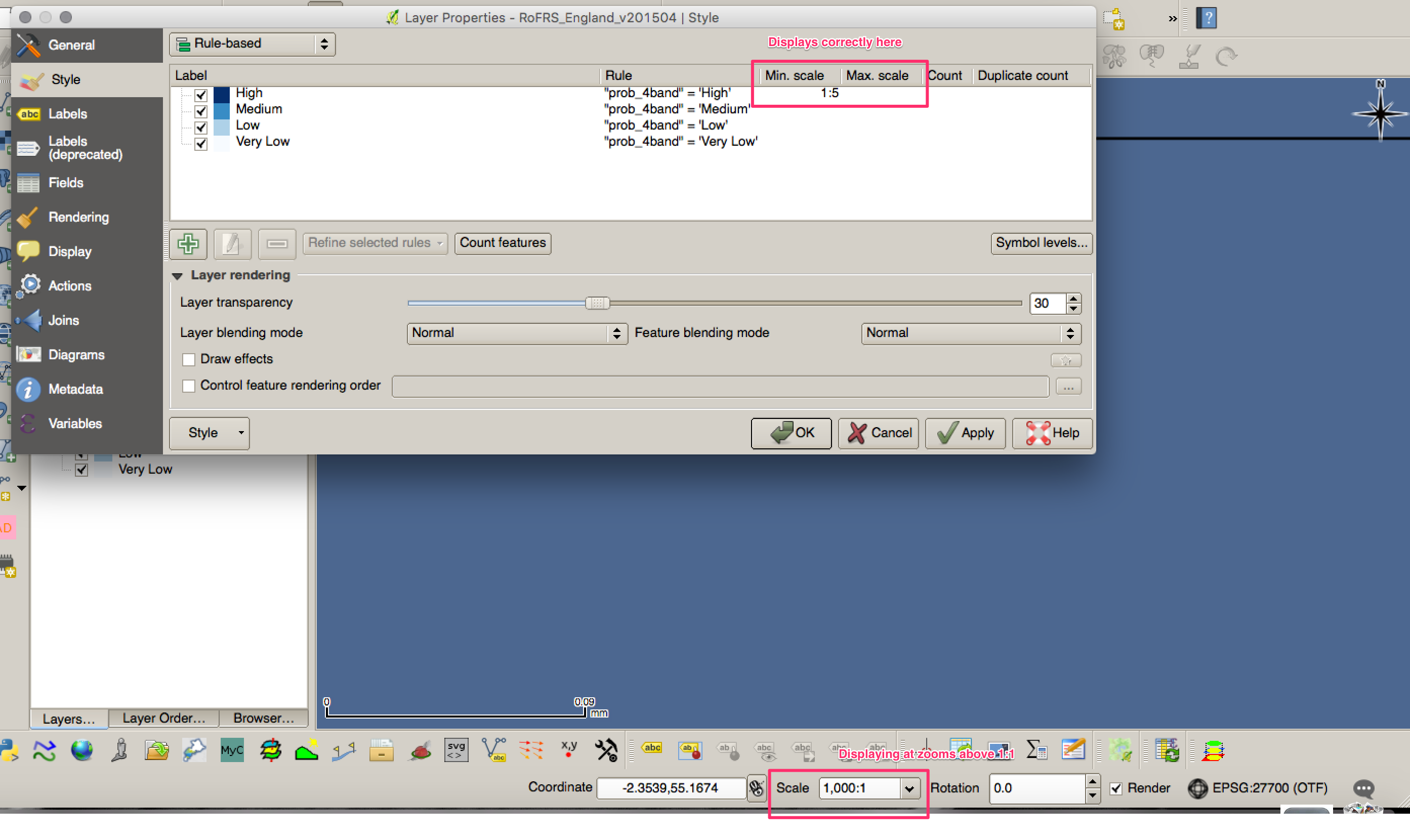
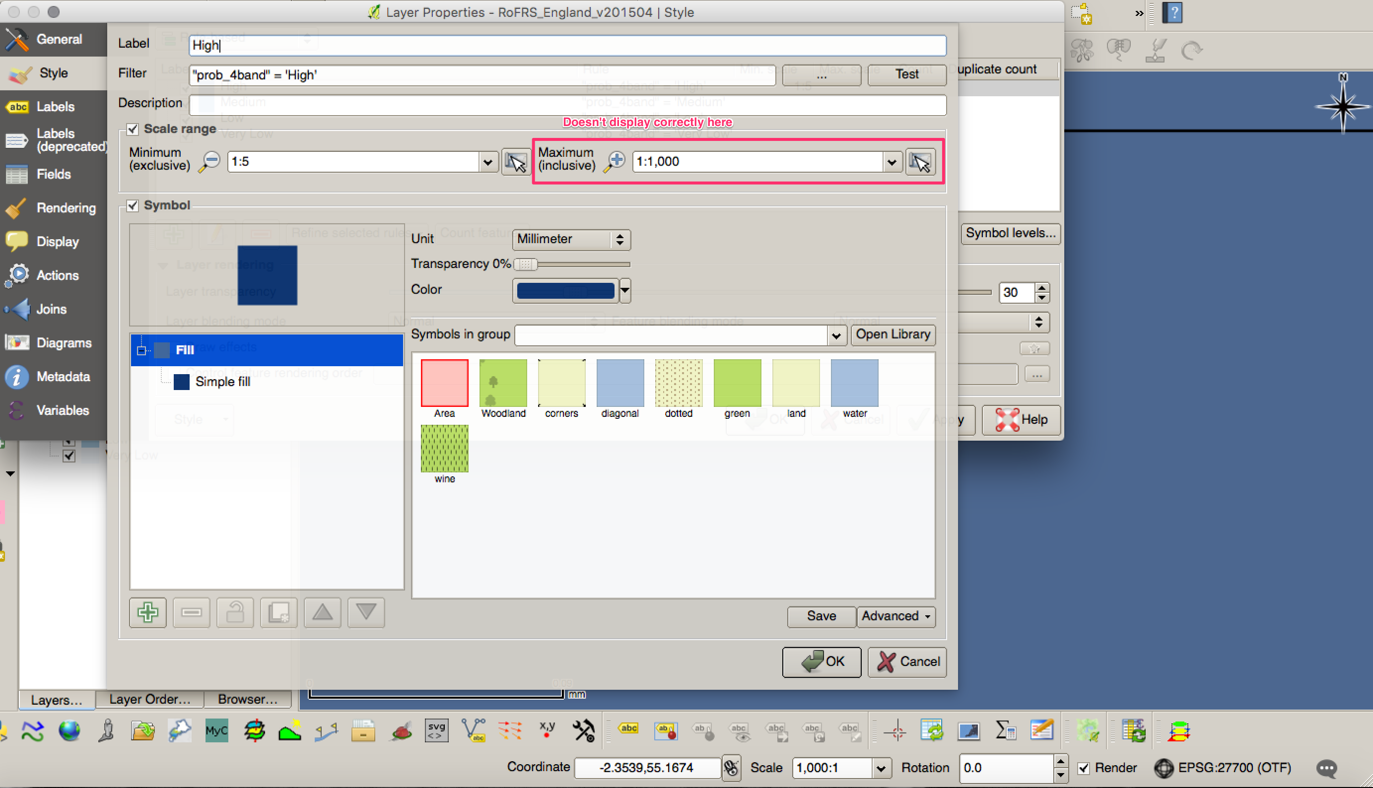
In QGIS 2.16.1's rule-based symbology as well as in its rule-based labeling, it's possible to enable a "scale range" to which the visibility of the result of the respective rule (be it a symbology style or a label style) shall be limited. However, it seems that these ranges always require both a minimum and a maximum scale.
What can I do if I want a rule to apply to all scales above a certain scale (i.e. more "zoomed in"), but not below (more "zoomed out")? The logical way would seem to be to leave out the maximum or set it to 1 : +∞ or at least to something ridiculously large like 1000000 : 1 (= 1 : 0.000001), but the QGIS UI seems to allow none of these and resets the value to the last one entered that is ≤ 1 : 1.
(And no, 1 : 1 is not the largest (most "zoomed in") scale that might occur in QGIS as you can easily verify by zooming further in on your map.)
So, is there a way to specify only a minimum scale and have a rule apply to all scales above it?


