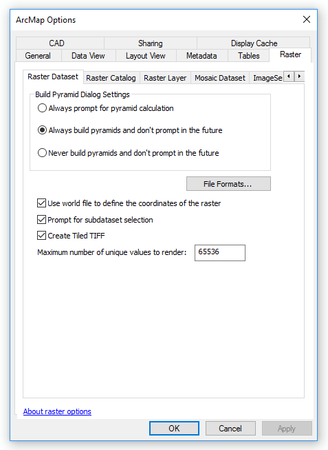
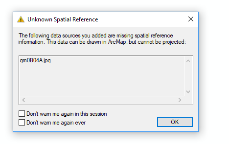
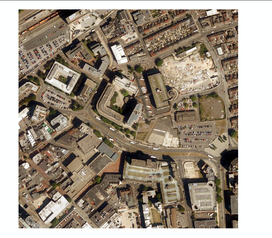
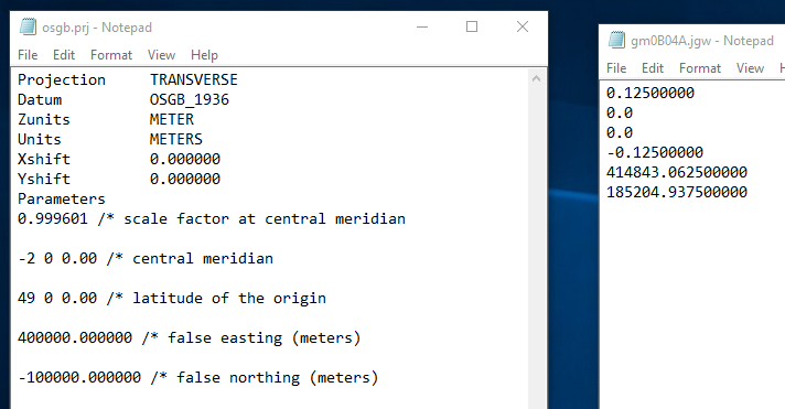
I am trying to georeference a simple raster image using a world file I was supplied with, however I am struggling to associate the world file with the image. I have read up on it, it seems that in the layer properties I should be able to 'edit' the spatial reference and I cannot. I have also specified in ArcMap options 'Use world file to define the coordinates of raster'. I am using ArcMap 10.4, I don't know if this will have made a difference.
Steps:
1) Checked the file names are the same (aside from the extension)  2) Customise - ArcMap Options - Raste Dataset - Check 'use word file to define
  the coordinates of the raster'
3) Load Raster

What next?

