2

I'm encountering a "empty output generated" warning when attempting to clip a data layer. The clip layer is a buffer drawn around roads while the input layer is a shapefile output from GeoMason. The input layer has been projected to be the same projection as the clip layer.

Executing: Clip input E:\LUP\scratch\input_Clip.shp #
Start Time: Sun May 28 23:08:15 2017
Reading Features...
Cracking Features...
WARNING 000117: Warning empty output generated.
Succeeded at Sun May 28 23:08:25 2017 (Elapsed Time: 9.79 seconds)

As you can see from the screenshot below, there are overlapping features between the input and the clip (red outline). I've also double checked the projection and extents and they match. What could be the cause of this error?

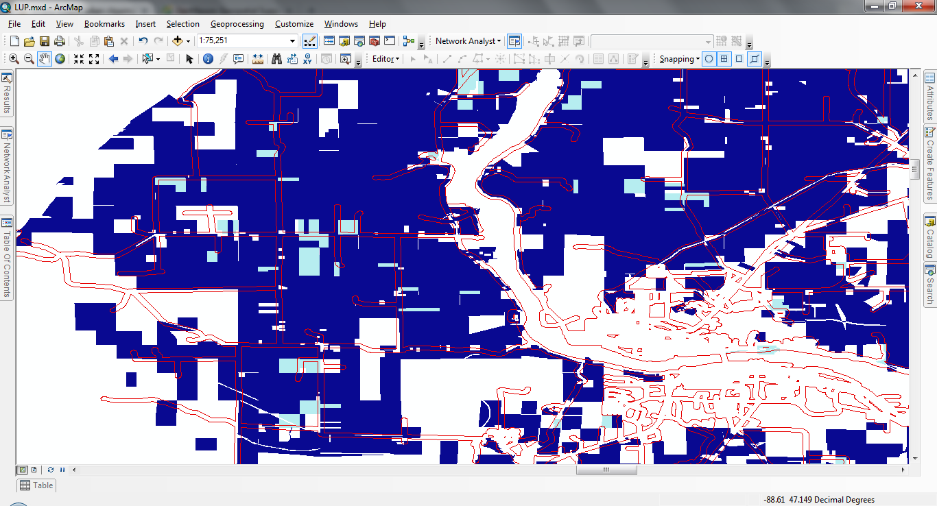
enter image description here

2
  • Assuming you're using clip (analysis) there could be a bad geometry involved, use repair geometry resources.arcgis.com/en/help/main/10.2/index.html#//… to fix incorrect ring orientation and hour glass self intersections before running the clip. How exactly are you running the tool? From the error message it looks like you're omitting some required fields. Commented May 29, 2017 at 3:22
  • 1
    @MichaelMiles-Stimson I'm working in ArcMap right now, but I'm going to need to script things. Repair Geometry ended up being exactly what the problem was - lots of messages about the rings. I'm guessing GeoMason might need an update. Feel free to add an answer to I can accept it.
    – user98098
    Commented May 29, 2017 at 3:25

1 Answer 1

3

The usual cause for a clip or overlay operation going awry, especially from downloaded data, is usually incorrect ring orientation or hourglass intersections (non-simple geometries). To rectify these the tool Repair Geometry will sort out simple geometry errors and remove rows that have empty geometries.

Whenever I get data from KML/KMZ or from external agencies I run repair geometry as a matter of course; I think that ring orientation isn't as important for some data types, using an odd-even rule for inside/outside, as for the Esri geometry types all polygons must have their exterior boundaries oriented clockwise and holes counter-clockwise.