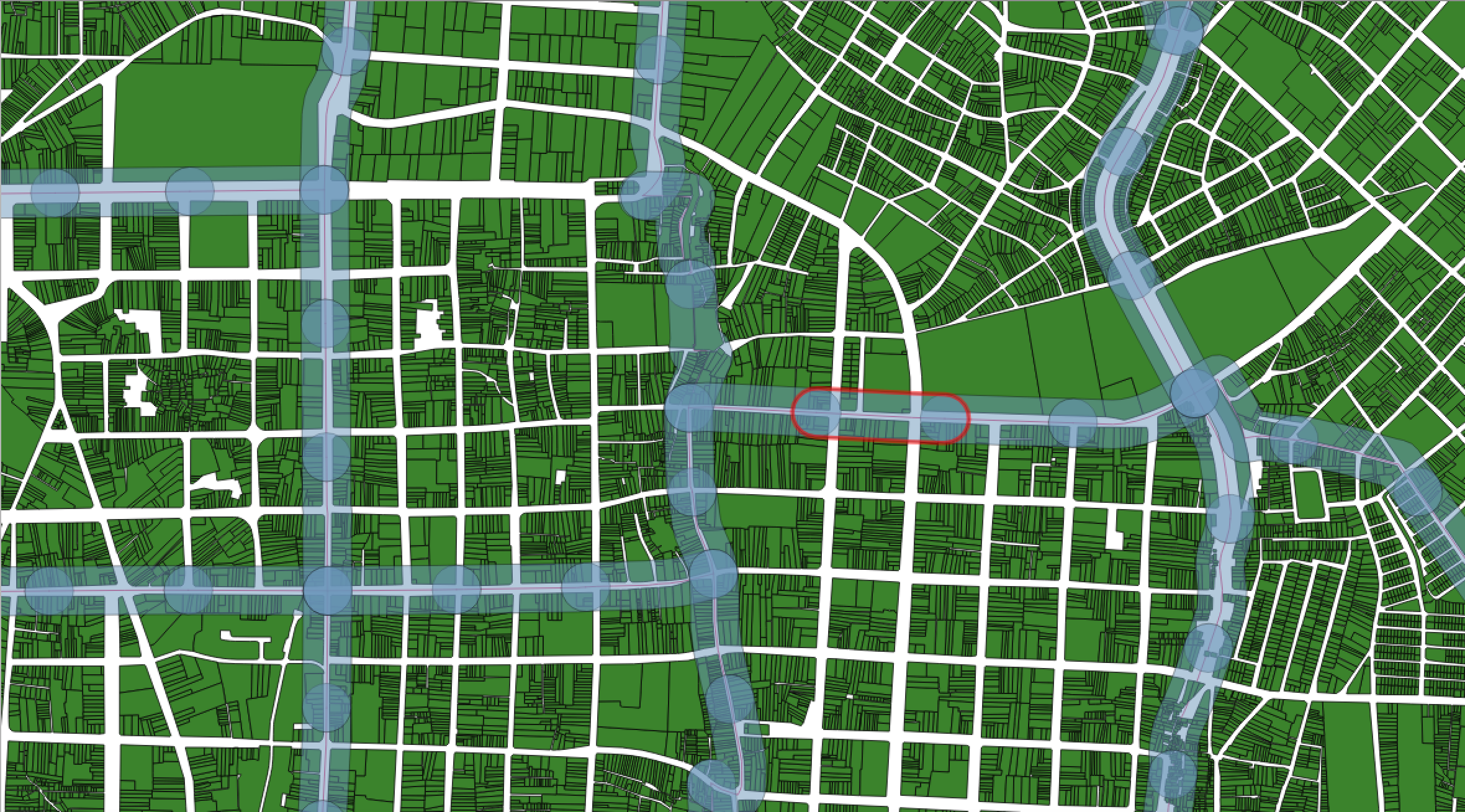
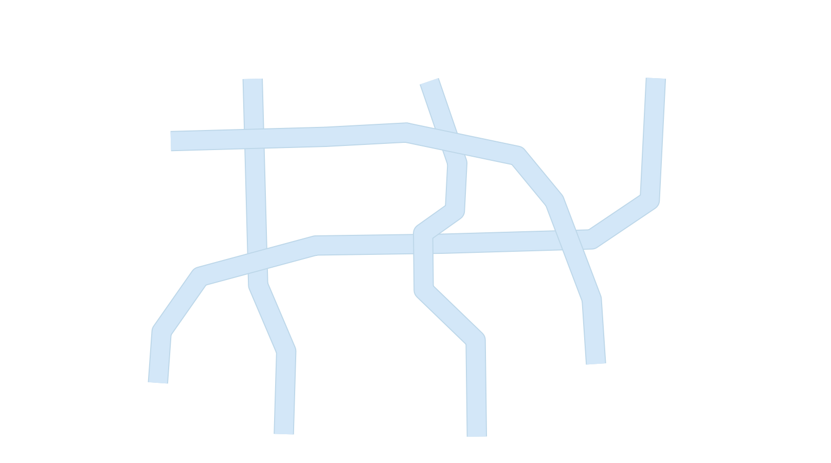
I have created a series of buffer regions around line segments in QGIS (in my case a road network):
The buffers are in transparent blue with the darker circles being where the buffer segments overlap. Additionally, the red outline shows the shape of a single buffer polygon.
I'm trying to remove the areas in my map where these buffers intersect. Specifically, I would like a layer composed of all of the non-overlapped polygons, and to keep their attributes (in my picture above it would be all of the lighter-blue polygons). Most of the geoprocessing tools need two separate layers. Also, while the Topology Checker can identify the overlapping areas in the same layer, it cannot select them.
Is there a straightforward in QGIS or GRASS that can remove the overlapping areas of buffer polygons in the same layer?
UPDATE
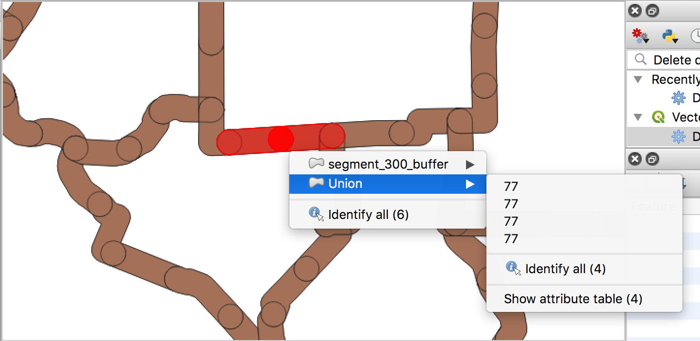
Following Kazuhito's response, I ran the Union command in QGIS 3.2, but it did not produce the desired output:
From from Union changelog, it should be that union "splits off" this overlapped area from the original buffer polygon. Thus the highlighted intersection should only have 2 polygons (the overlaps for each layer), but instead it has 4 because it retains the original polygon as well. Does anyone know why the Union command would not produce a split up polygon as illustrated in the changelog?

Union layerin the Union dialog, just theInput layer.