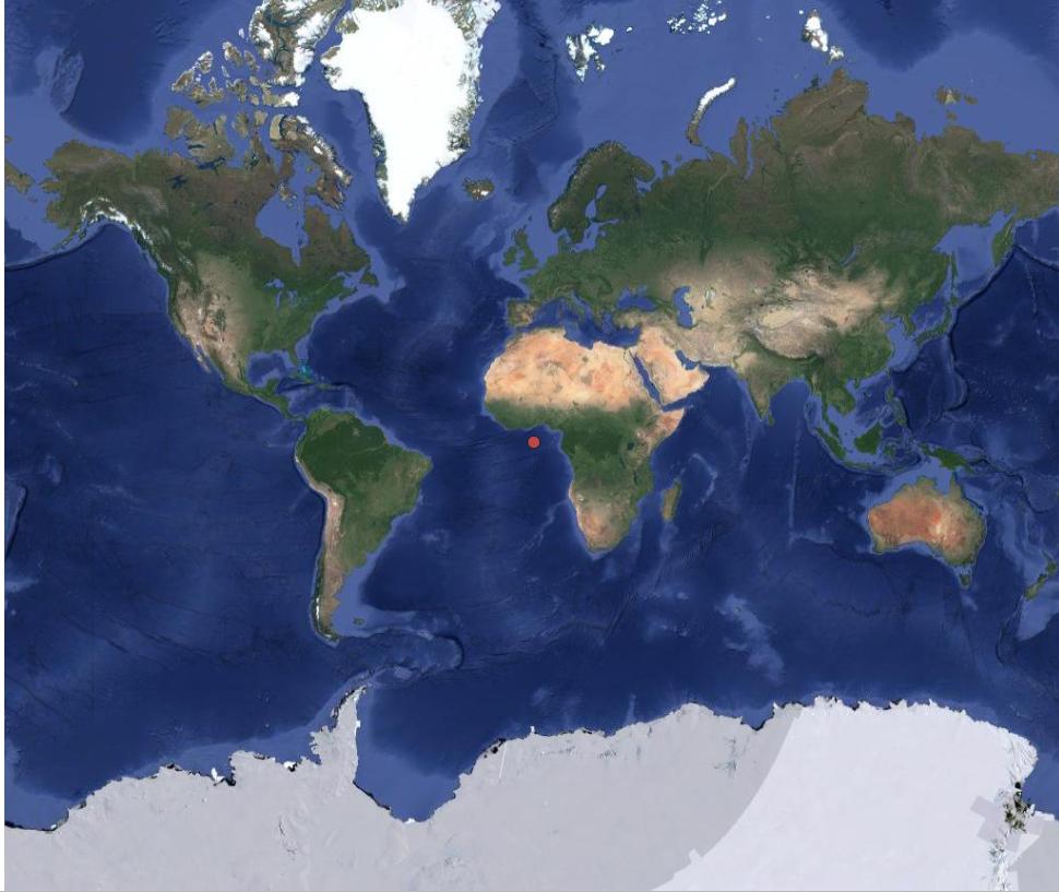
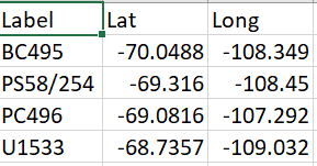
Basically, I have a CSV table with lat/long coordinates that I am trying to upload onto a map. However, when I "add text delimited layer" it puts the spots in the completely wrong location. I put the map and the table below.
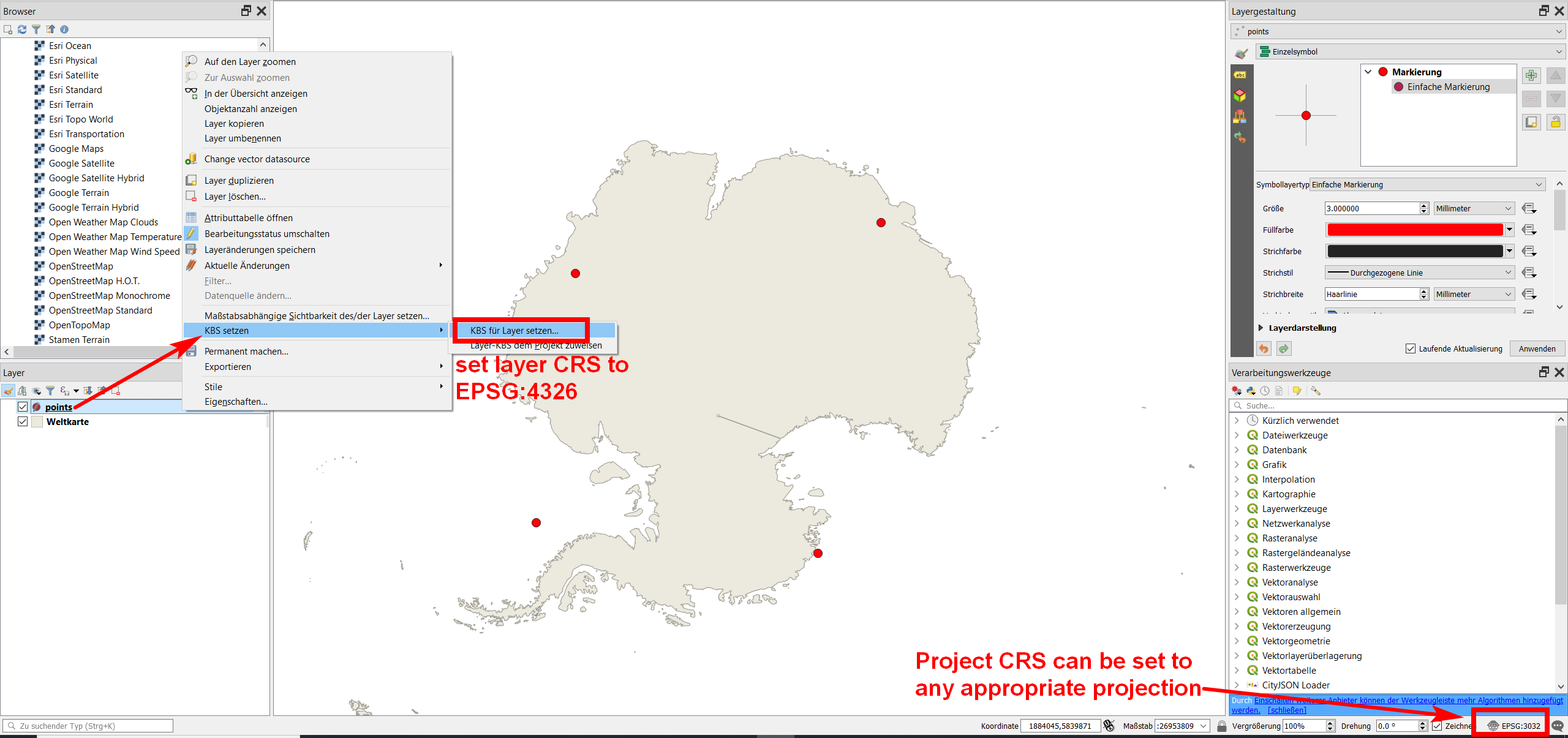
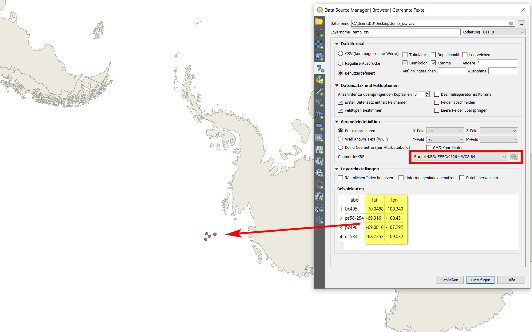
The points (there are 4 of them even though they look like only one) should be in Antarctica, but they show up in the middle of the map. I have tried this with both the WGS 84-Psuedo Mercator projection (used by Google Earth satellite), and the WGS 84-Antarctic stereographic projection (used by Quantarctica).
In both cases i made sure the coordinate systems aligned. Could there be something wrong with my csv table, wrong format or the like? I am pretty sure I got the decimal degrees right. I know I can do the Google Earth > KML file trick but I would like to have everything on one table for easy viewing.


