4

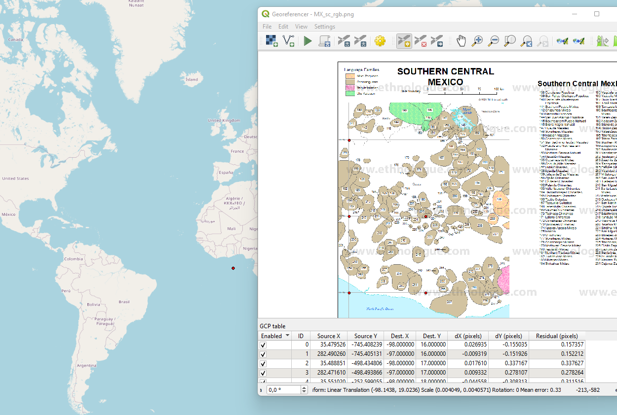
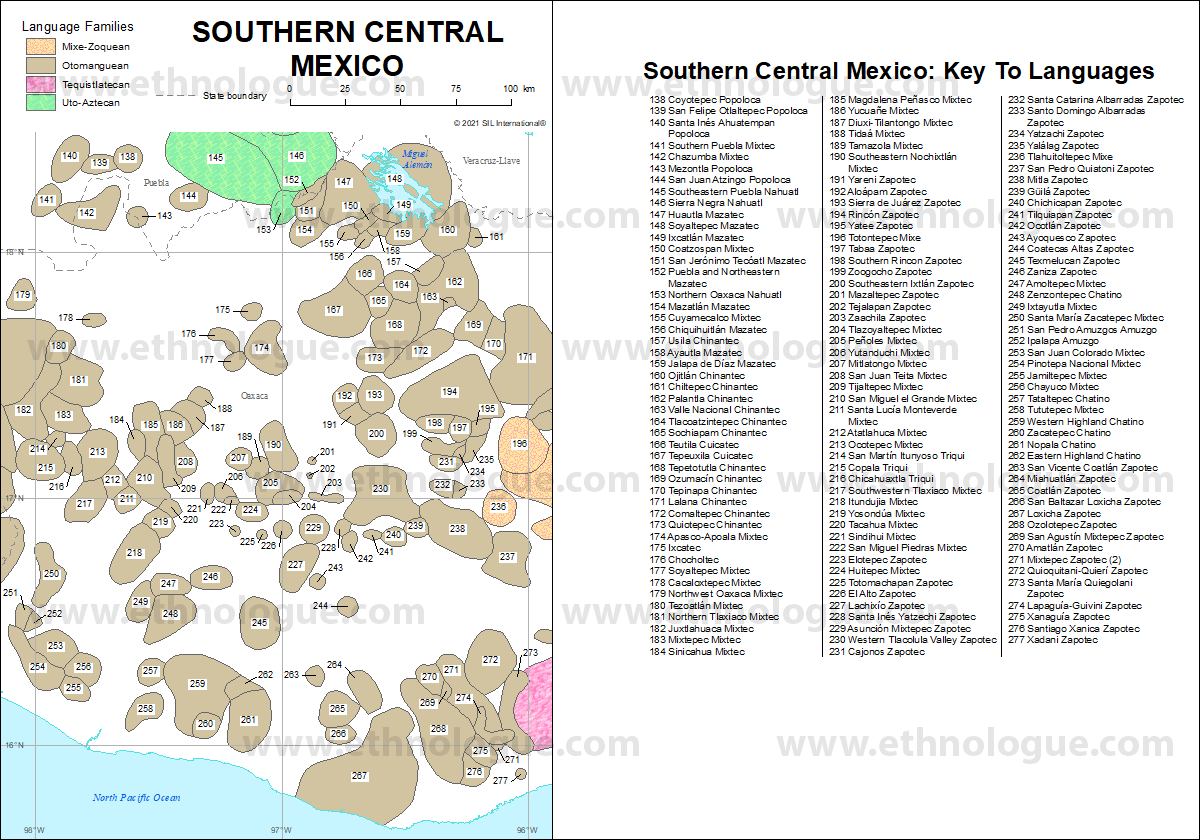
This is the map that I tried to georeference using its coordinates, e. g. -98.00 E and 16.00 N

enter image description here

Both maps are on the same projection. However, no matter what coordinates I enter, they always correspond to a location in the Gulf of Guinea:

enter image description here

Even though it should be in Mexico!

What am I doing wrong?

I'm new to QGIS.

enter image description here

1
  • 2
    Why Gulf of Guinea? Because it's Null Island. See here for details and better understand the background and why you must change CRS as mentioned in the answer by @swiss_knight gis.stackexchange.com/a/383437/88814
    – Babel
    Commented Dec 29, 2022 at 14:28

1 Answer 1

6

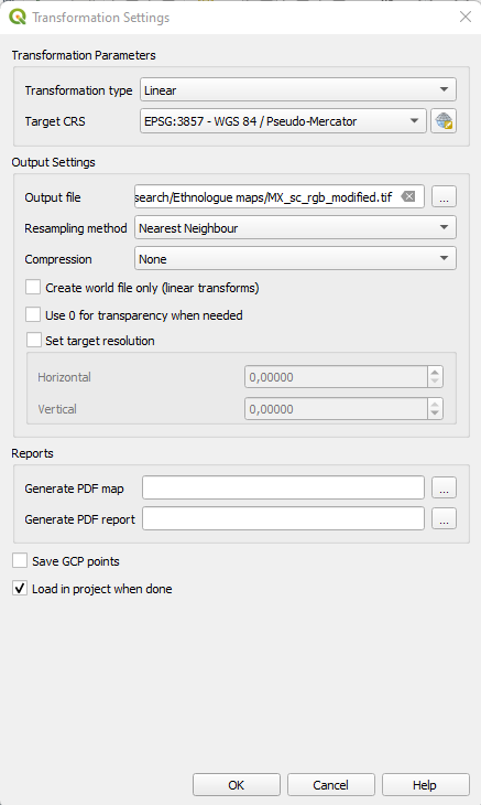
Maybe you want to change your target CRS to EPSG:4326 because your target coordinates are given in latitudes and longitudes, not as web Mercator coordinates (EPSG:3857) which you are currently using in your "Transformation Settings" window.

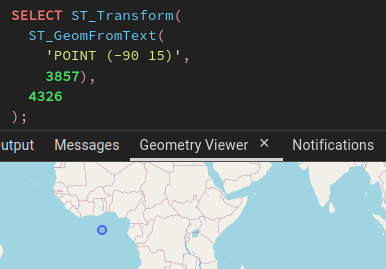
As a dummy illustration, this is a PostGIS equivalent of what you are currently doing:
enter image description here

Whereas you want this:

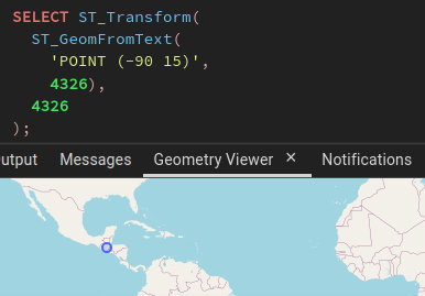
enter image description here

The difference lies in the CRS of the input point. In the first case, it is set to EPSG:3857 and the result on a WGS84 (EPSG:4326) map is in the Gulf of Guinea. But in the second case, the CRS of the input point is EPSG:4326, and well, this is useless, but I kept the reprojection step, it's displayed where it must lie, in central America.

Your Answer

By clicking “Post Your Answer”, you agree to our terms of service and acknowledge you have read our privacy policy.

Not the answer you're looking for? Browse other questions tagged or ask your own question.