In QGIS 3.28.2 Firenze I'm working on developing a QGIS plugin to get the elevation along the boundary of a polygon.
Given a shapefile polygon and a raster, I've been able to think of one solution:
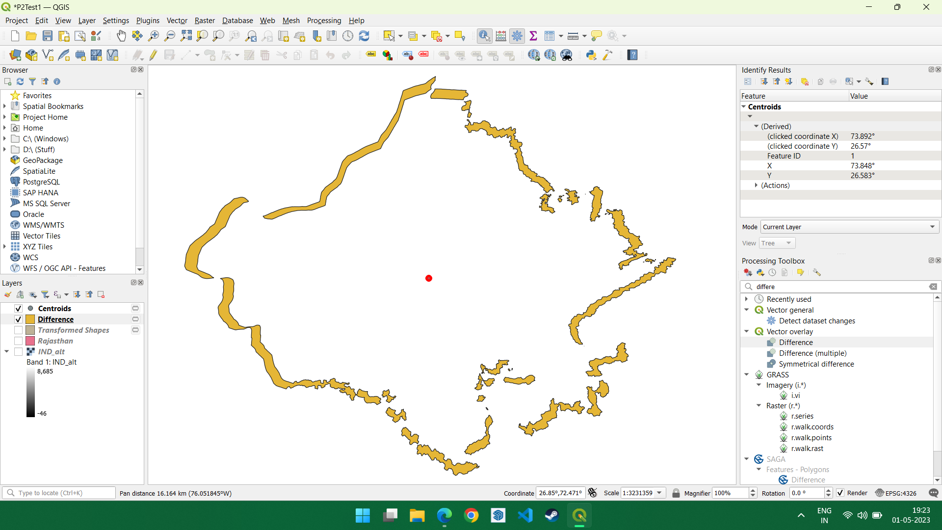
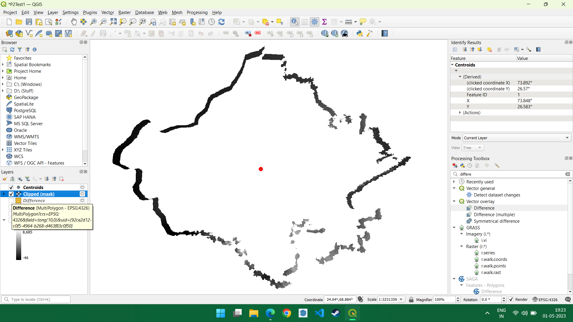
- Take the shapefile, shrink it by 0.95, get the difference (which is basically a thick boundary of the shapefile in polygon format, rather than line, and clip it to the raster to get a line of elevation.
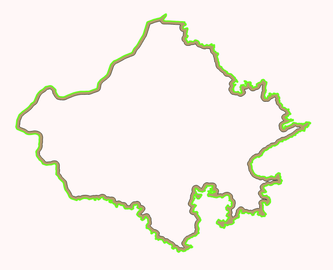
What I'm looking for is a boundary of the shapefile, having the elevation data, as a raster. In other words, a raster in the form of a boundary line of the shapefile. The original problem statement is, "Find the elevation along the boundary of a polygon".


