6

I am currently looking examples of animated maps. Creating animated maps with the help of this post and similar post checking Animaps site also

I am presenting this map in local school so those students should take interest to learn and create various simple interactive maps.

I am in process to create animated map contains Gardens and amusement parks across the city.

4 Answers 4

8

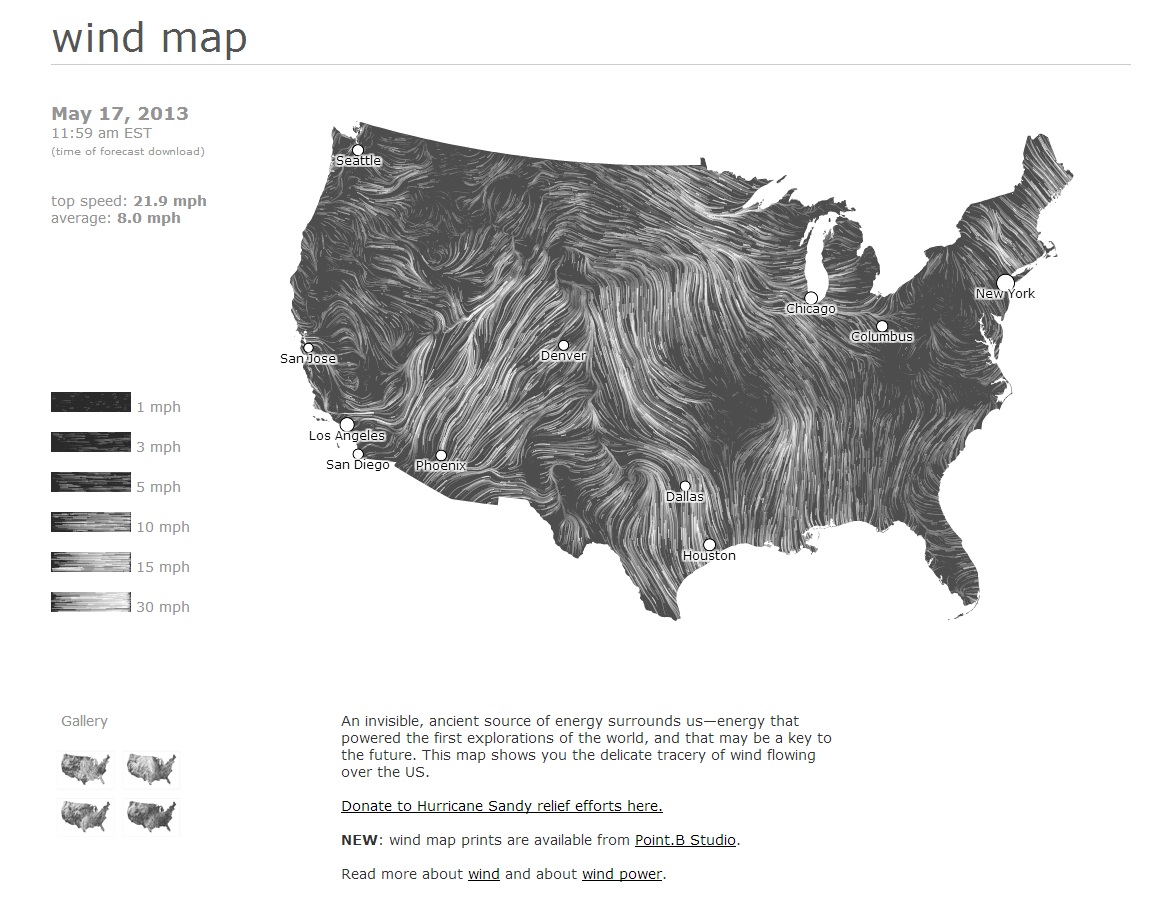
One of the most spectacular animated maps I've seen is Google's Wind Map.

enter image description here

0
3

Some great examples in the links there! One thing not mentioned in your links, which should be useful, is OpenLayers' Strategy.Refresh call. In this you can set a time interval for refreshing a vector layer automatically.

Also, I create 3D animated landscape visualizations for public participation in planning and they are stand-alone (not web-based), so I don't know if you'd call that a 'map' as such. However, you may also get some inspiration from 3D mapping and tech in this thread.

1
  • thanks for the answer : ) I am looking for more examples so I will keep open this question for one or two days.
    – Sunil
    Commented May 13, 2013 at 12:14
2

Based in QGIS

Underdarks's Tutorial

Layer “start_flash” is a medium sized dot that marks the appearance of a new tweet.
Layer “big_flash” is a bigger dot of the same color which will appear after “start_flash”.
Layer “permanent” is a small dot that will be visible even after the flash vanishes.

http://anitagraser.com/2011/11/20/nice-animations-with-time-managers-offset-feature/

1
  • ♦ thanks for the ans : ) In my city (Pune,India) QGIS is using in schools to create very simple maps : )
    – Sunil
    Commented May 13, 2013 at 15:20
2

See these examples mainly related to transportation

PS: Not Qgis related but can answer to the need

0

Your Answer

By clicking “Post Your Answer”, you agree to our terms of service and acknowledge you have read our privacy policy.

Not the answer you're looking for? Browse other questions tagged or ask your own question.