2

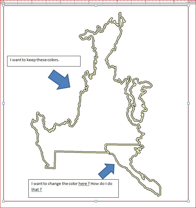
I create a file geodatabase to hold a polygon of the land boundary. What I would like to set up the RULE to separate colors. I had to split the polygons into 2 separate polygons and change the ID to 2. How do I add that to the Resprentation Symbology properties ? I already have set up for the north part but need to change the color the south part.

Thanks in advance !

here is the picture I want to change the colors.
enter image description here

1 Answer 1

2

You require two Cartographic Representations [CR] for the same layer - CR's are independent and you can assign difference colours to the same layer.

Key point 'SELECTED' Feature

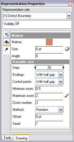
The Drawing tab shows you the representation rule as it is applied to the selected feature representation. In this view, you can override the representation rule for the selected feature representation explicitly by changing the value of any property or interactively using the representation editing tools.

enter image description here

http://help.arcgis.com/en/arcgisdesktop/10.0/help/index.html#/Understanding_the_Representation_Properties_window/008t00000042000000/

Your Answer

By clicking “Post Your Answer”, you agree to our terms of service and acknowledge you have read our privacy policy.

Not the answer you're looking for? Browse other questions tagged or ask your own question.