1

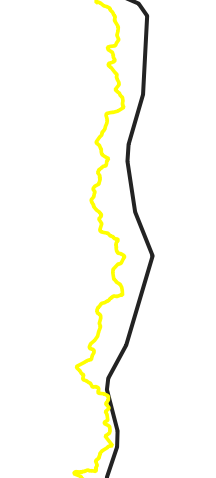
Although the coordinate systems in QGIS for 2 different vector layers are the same, there are differences between the boundaries.

How can I superimpose this data?

enter image description here


With the plugin or another way, I can overlap this, not with the coordinate system, because they are both in the same coordinate. I think this is because the drawings are wrong but I couldn't find the solution

4
  • This looks to be similar to gis.stackexchange.com/q/348017 - you might check that question for suggestions.
    – LRitzdorf
    Commented Jan 20, 2020 at 18:37
  • Also, someone with a higher reputation might want to look at marking this as a duplicate question.
    – LRitzdorf
    Commented Jan 20, 2020 at 18:38
  • You can flag as duplicate. Commented Jan 20, 2020 at 20:09
  • Looks like a different issue to me. Could it be that your two lines just come from different data sources with different accuracy? You could try 'snap geometries to a layer' in processing toolbox.
    – MrXsquared
    Commented Jan 21, 2020 at 17:33

1 Answer 1

1

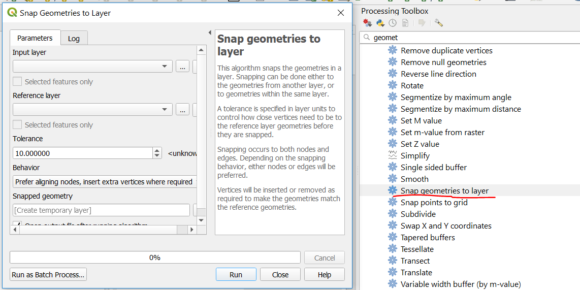
You may also use the Snap geometries to layer processing tool:

This algorithm snaps the geometries in a layer. Snapping can be done either to the geometries from another layer, or to geometries within the same layer.

enter image description here

Not the answer you're looking for? Browse other questions tagged or ask your own question.