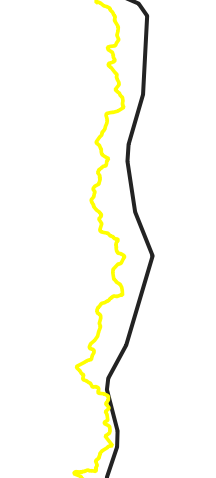
Although the coordinate systems in QGIS for 2 different vector layers are the same, there are differences between the boundaries.
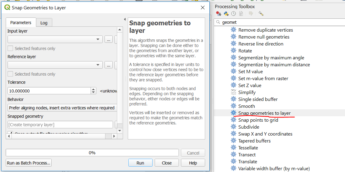
How can I superimpose this data?
With the plugin or another way, I can overlap this, not with the coordinate system, because they are both in the same coordinate. I think this is because the drawings are wrong but I couldn't find the solution


