0

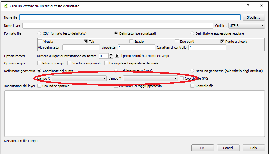
I find it very difficult to import GPS data from CSV to QGIS and finally I have discovered that the first column in CSV table was Y coordinate and the 2nd was X coordinate.

In the picture you can see the settings for the file import

To check the real position in google maps I have to insert (first value, second value) so I believe that was the same in QGIS

XY_fields

Why is this happening? Is it regular?
2
  • 1
    I don't know if it is regular or not. Just thought you would find this interesting. Lat Long or Long Lat.
    – Kazuhito
    Commented Oct 28, 2016 at 13:20
  • 2
    Yes, it is regular that if coordinates have names X and Y there are two interpretations about which one stands for latitude/northing and which one for longitude/easting. You can start reading from ogcnetwork.net/axisorder.
    – user30184
    Commented Oct 28, 2016 at 13:23

0