1

My question is about OpenStreetMap place labels in QGIS, and how to keep them at a similar size when exported to as they appear in the software. I realise variations of this question have been asked before and it used to be an issue with the OpenLayers plugin but I have yet to find a workable solution.

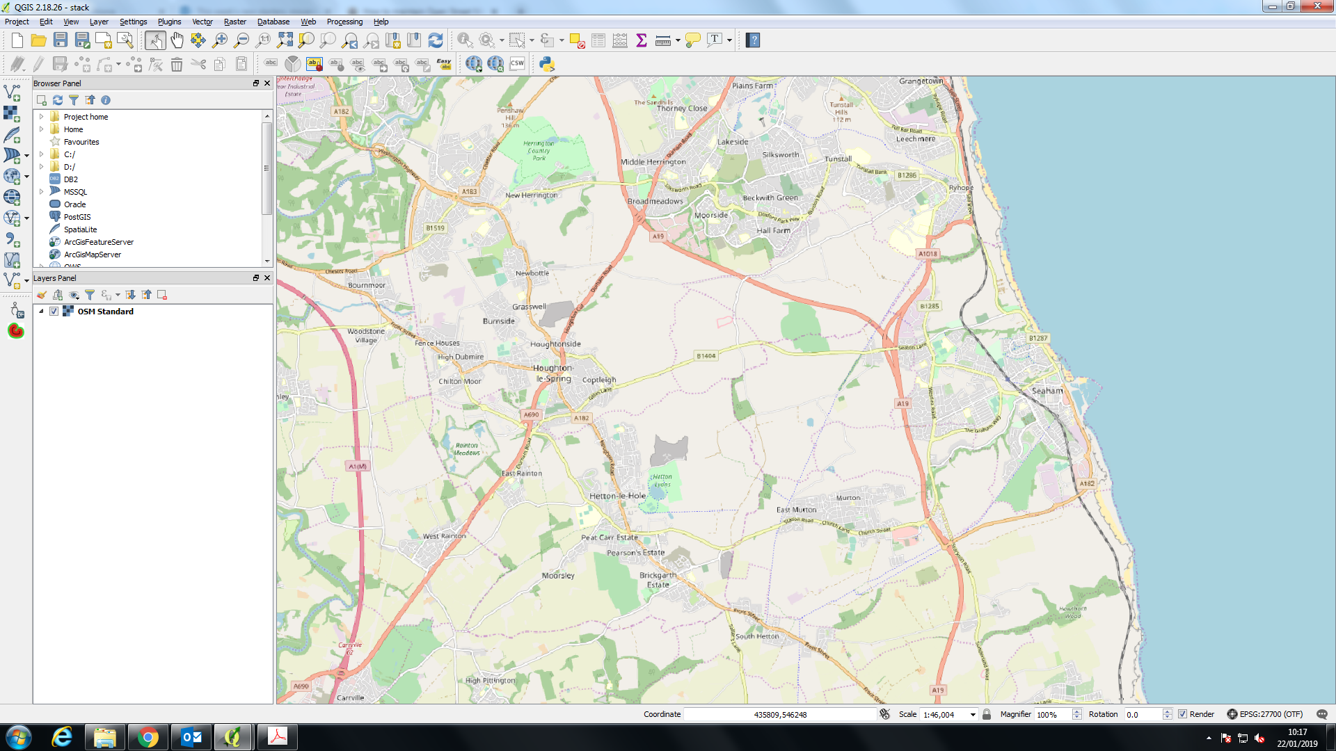
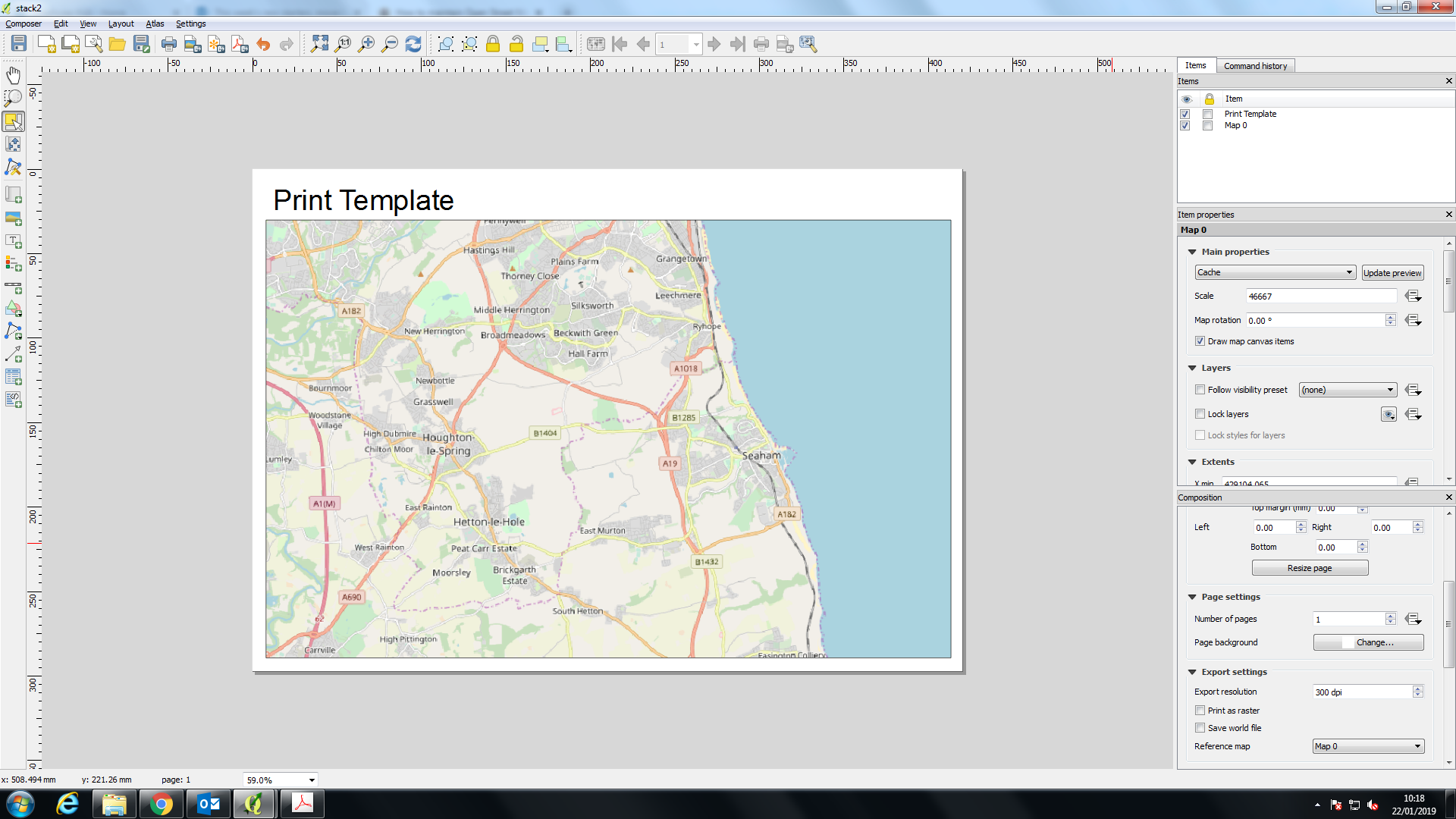
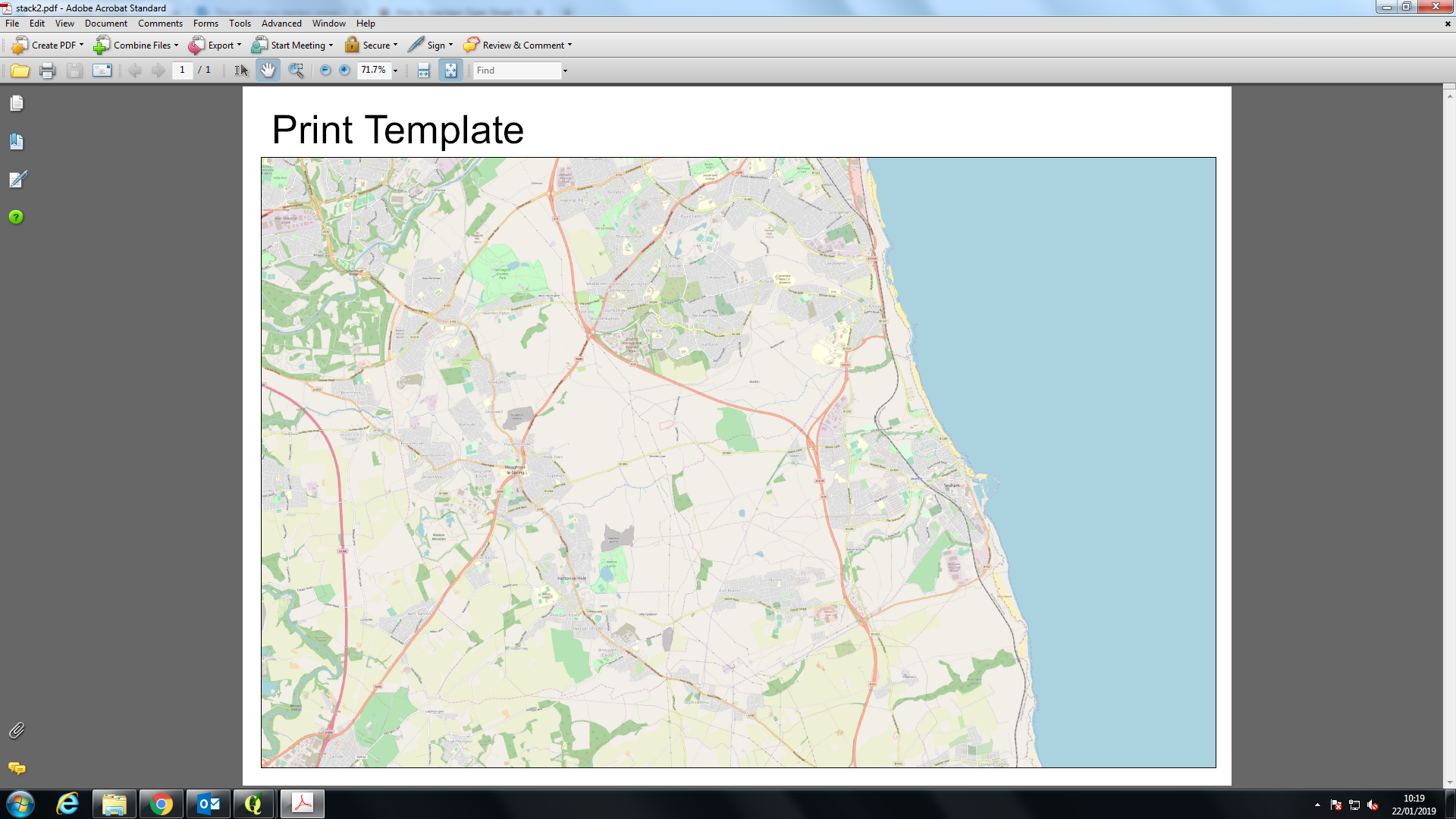
I am having issues with losing the scale of labels of my backdrop mapping when exporting my QGIS print template to a PDF. I need the labels to maintain their size seen in both the map view (screenshot 1) and print template (screenshot 2). However when I export, the labels shrink to a unusable size (screenshot 3).

Screenshot 1: map view

Screenshot 2: Print template

Screen shot 3: exported PDF map view

Does anyone know a work around to this issue?

I have found you can lower the DPI in the print template export setting which produces larger labels, however this also lowers the resolution of the map to a near unusable level.


Someone had similar problems: Why do labels in exports using HERE tiles appear tiny?

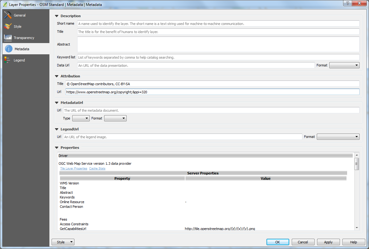
However I have tried this solution (screenshot 4) and unfortunately I don't see any change in the label size to the output? (screenshot 5)

Layer properties & URL edit

exported PDF map view with &

I am not sure if I am putting in this new parameter the URL correctly or not?

7
  • Thanks for the direction to this question Ian. I have tried their solution but i am seeing no change in the output of the PDF (see edit and screenshot 4&5). Perhaps i am editing the URL incorrectly?
    – fraser
    Commented Jan 22, 2019 at 11:38
  • You only edited the URL in the attribution, which has no effect on the layer. In the linked "duplicate" question, the layer was added by XML and the answer was to change the URL in the XML code.
    – csk
    Commented Jan 22, 2019 at 18:19
  • I nominated the question for re-opening, because at the very least this needs an explanation of how to apply that answer to layers added through a plugin like QuickMapServices or OpenLayers.
    – csk
    Commented Jan 22, 2019 at 18:21
  • @csk I did think what i was doing in the attribution wouldn't be correct. Thanks for the explanation. Unfortunately i am not familiar with XML enough currently to try this solution. I also would like this re-opening as i have not found an exact solution yet.
    – fraser
    Commented Jan 23, 2019 at 12:37
  • 1
    I suggest playing around with this method of adding maps if you can use QGIS 3 (I've not tested this) [ spatialbias.com/2018/02/qgis-3.0-xyz-tile-layers ]. To use an xml file is relatively simple (and works with QGIS2). It's just a text file with a specific format (and filename ending). Easiest to work from an example [but see gdal.org/frmt_wms.html ]. My workaround is to set the maximum (closest) zoom level X in that xml file with '<TileLevel>X</TileLevel>'. This prevents QGIS accessing zoom levels beyond this limit. Load xml file (& map) by simple drag and drop. ' Commented Jan 23, 2019 at 17:09

1 Answer 1

0

This doesn't really answer the raster basemap rescaling problem but one way to circuvent the problem could be using vector tile basemap (look for the vector tile reader plugin in the plugin manager), this should give you the possibility to alter the symbology and labeling of your base map. Vector tile will give you the highest quality basemap.

(on QGIS 3.x there seem to be a problem with labeling and POI symbols, this seem to work better with QGIS 2.x, coping style from QGIS 2 to QGIS 3 partially fix the problem...)

1
  • Thanks for this, i have loaded the vector basemap in from the tiel reader plugin and will try playing with the scale thresholds to get the view i am after!
    – fraser
    Commented Jan 22, 2019 at 11:35

Not the answer you're looking for? Browse other questions tagged or ask your own question.